
Tactical map · GPS navigation
Plan, analyse and navigate the ground in 3D
Achilleus 3D is a tactical mapping tool for the field. It works offline, speaks MGRS, and puts terrain analysis, operation plans and your team on one map.
iPhone · iPad · Mac · Android · Apple Vision
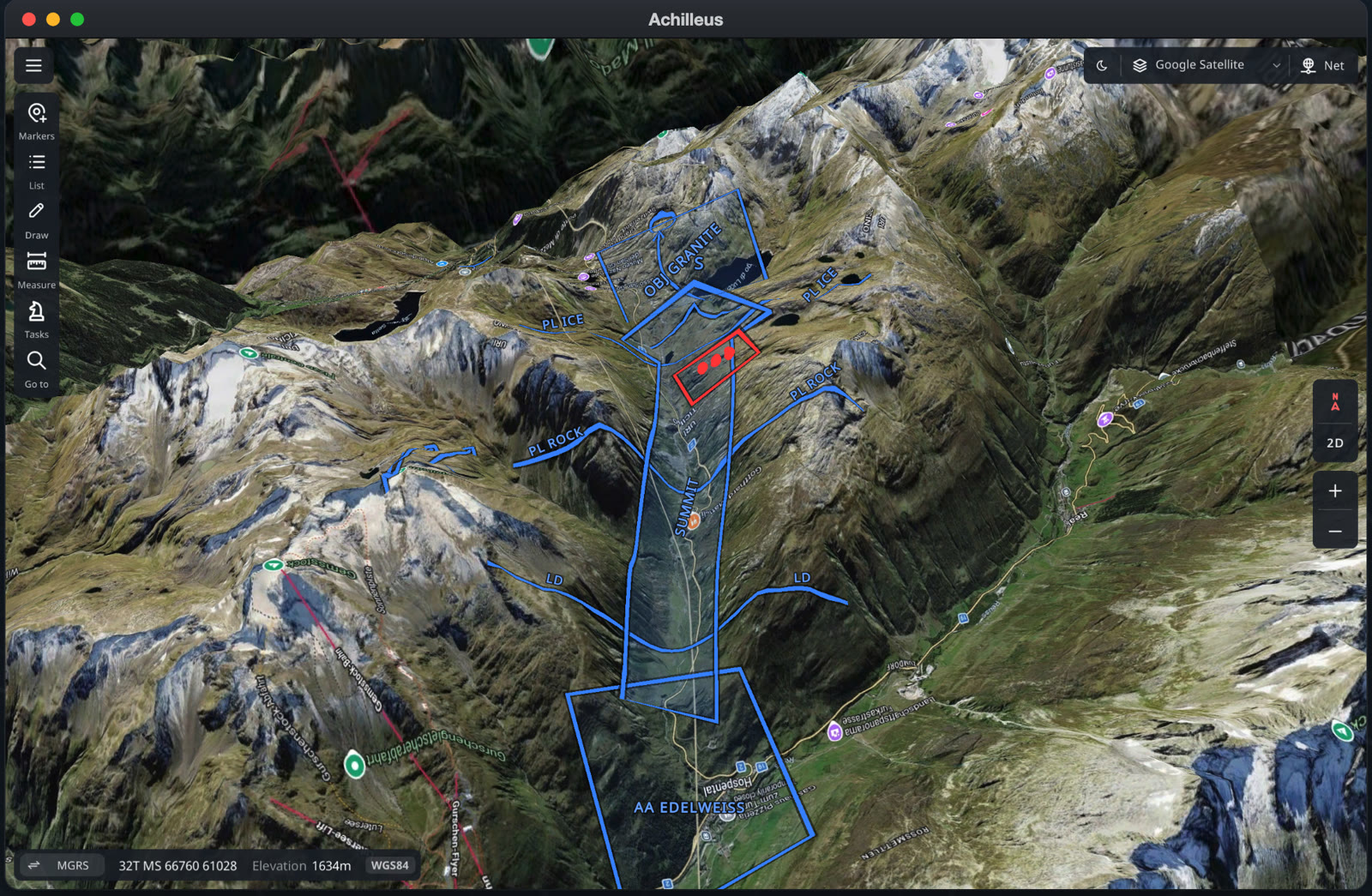
Everything you need on one map
From the first look at the ground to the last correction on target.
3D terrain and maps
Satellite, topographic and street maps, on real terrain in 3D. You can also add your own map servers and MBTiles files.
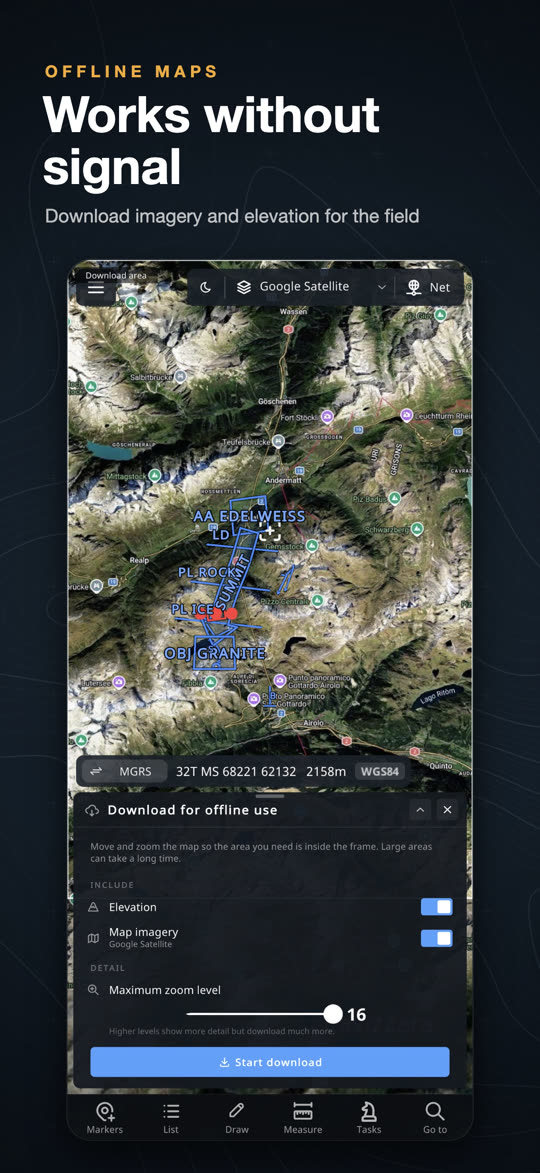
Offline maps
Download imagery and elevation for an area before you go. Everything keeps working without a signal.
Coordinates
MGRS, UTM, British Grid and Lat/Lon in 48 datums. Go to typed or pasted coordinates, or convert whole lists at once.
Markers and symbols
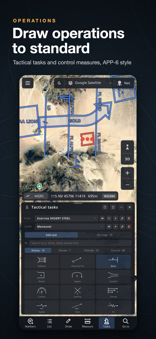
Friendly, enemy and neutral markers with APP-6 / MIL-STD-2525D symbols, range rings, sectors and photos.
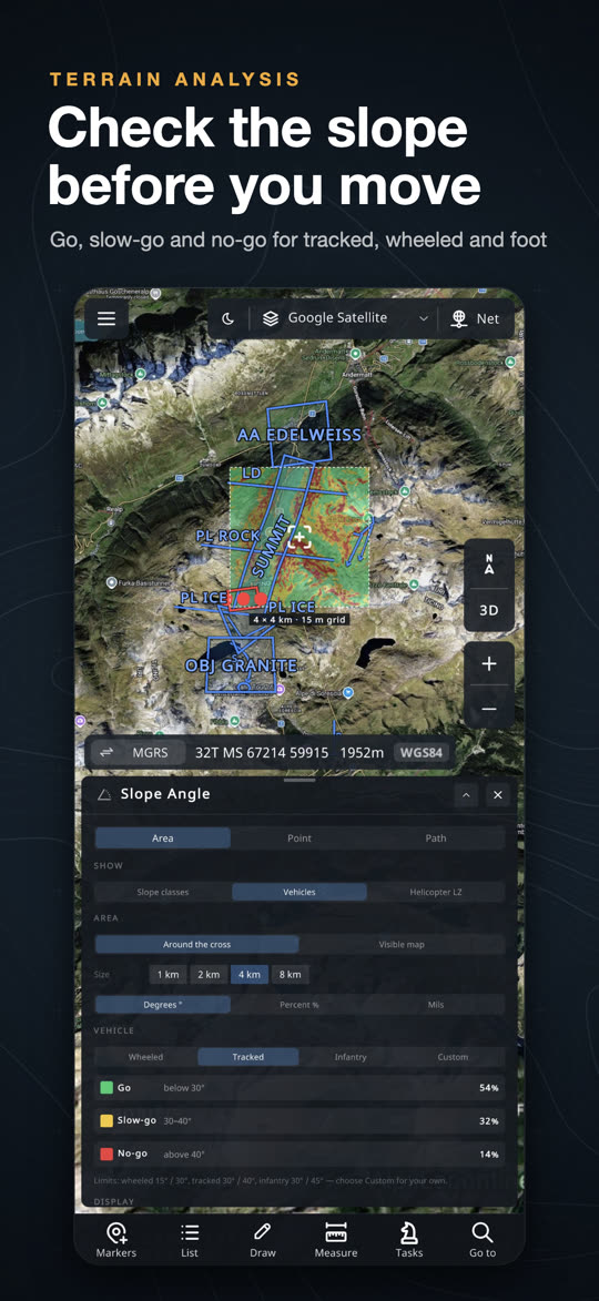
Terrain analysis
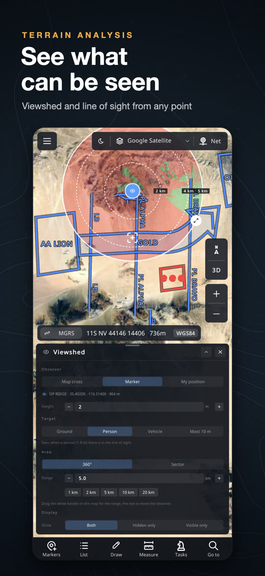
Line of sight with profiles and radio links, viewshed from any point, and slope maps for vehicles and helicopter landing zones.
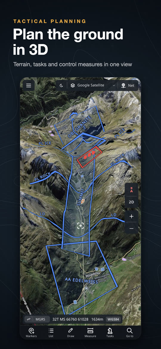
Tactical planning
Operation plans with tactical tasks and APP-6D control measures: boundaries, phase lines, axes and objectives, with an H-hour timeline.
Adjust fire
Mark where each round lands and get the correction instantly, for example Drop 200 · Right 50 · Up 5.
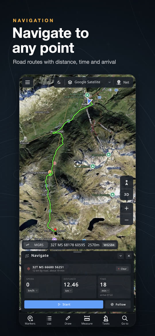
Navigation and tracks
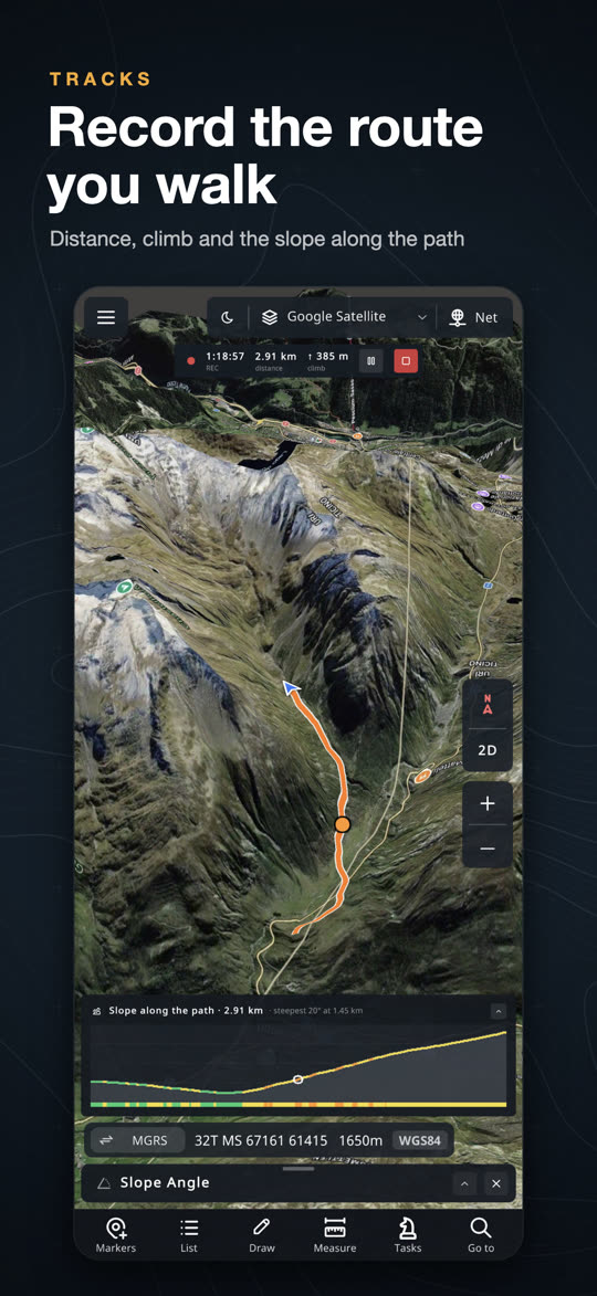
Driving routes, straight-line Walk to with a compass, and GPS tracks with elevation profiles. Tracks keep recording with the screen off.
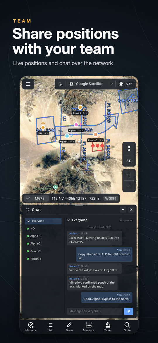
Team network
Share layers, plans and live positions with your team, and chat. It runs on your own network, with no account needed.
See it in action
On iPhone, iPad and Mac. Swipe to see more.
Learn it in minutes
The User Guide covers every tool step by step, from the cross and your first marker to terrain analysis, operation plans and the team network.
- Quick start in five steps
- Offline maps and coordinates
- Tips and answers to common questions
Your data stays yours
Achilleus 3D needs no account and shows no ads. Your markers, drawings, tracks and plans are stored on your device, never on our servers.
- No sign-up, no ads, no data selling
- The team network runs on your own network
- Location is used only on your device and for what you share
Get Achilleus 3D
For iPhone, iPad, Mac, Android and Apple Vision.